


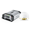

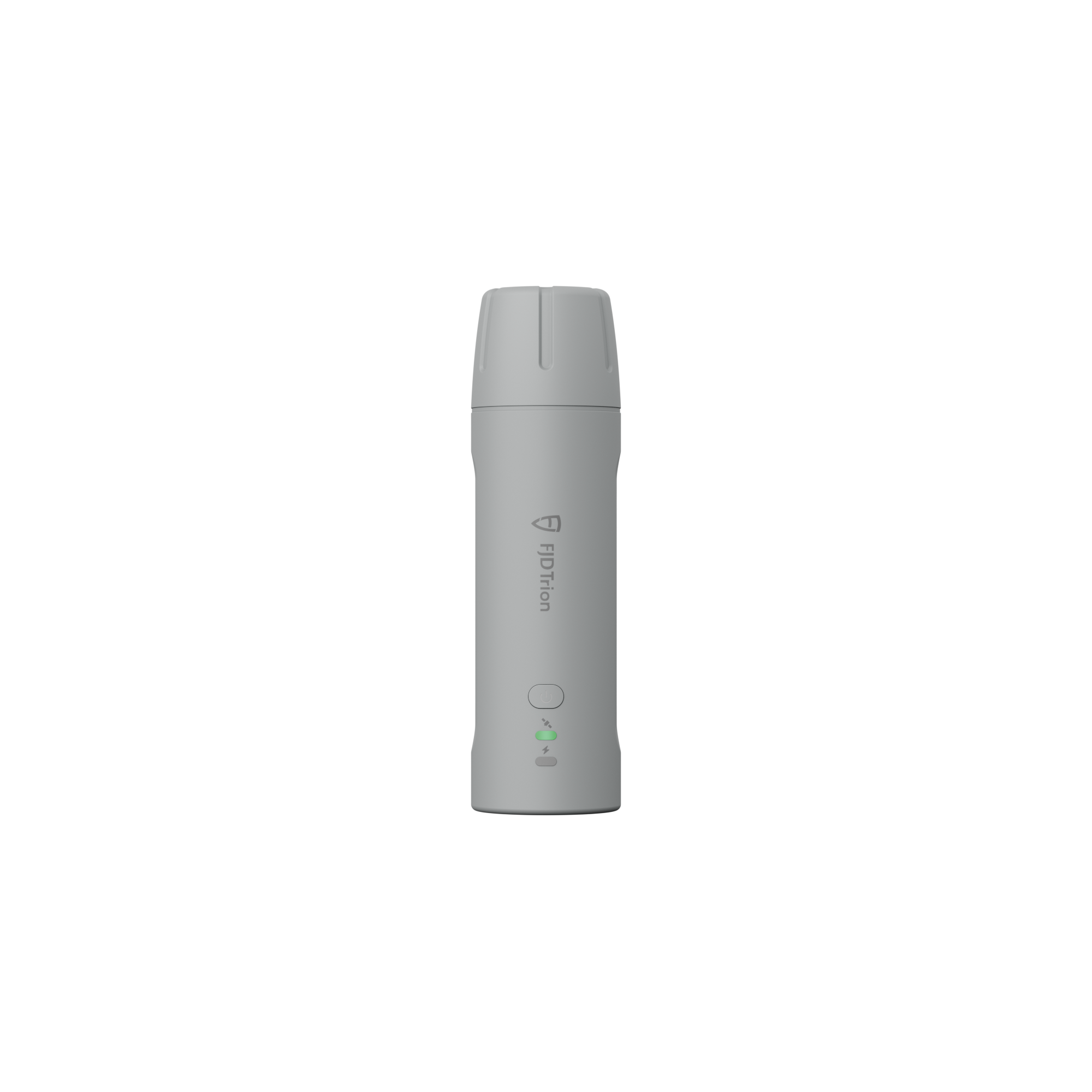
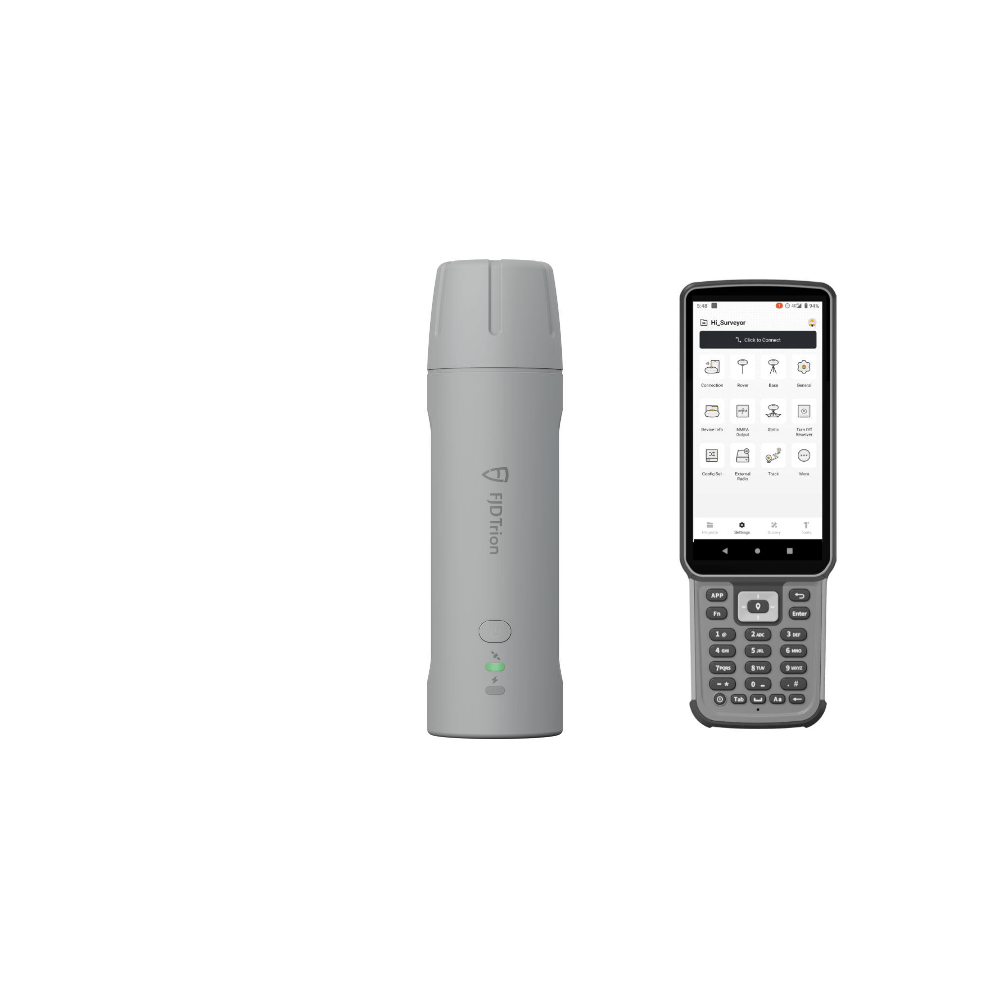


Récepteur FJD Trion V4e et V4e Pro Mini RTK
Petit en main, sans limites sur terre
- Petite taille, grande puissance
- Conçu pour durer et rester efficace toute la journée
- ACCÈS FACILE À L'ÉCOSYSTÈME TECHNOLOGIQUE FJD
Brochure du récepteur RTK FJD Trion V4e
Manuel du récepteur FJD Trion V4e RTK
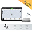
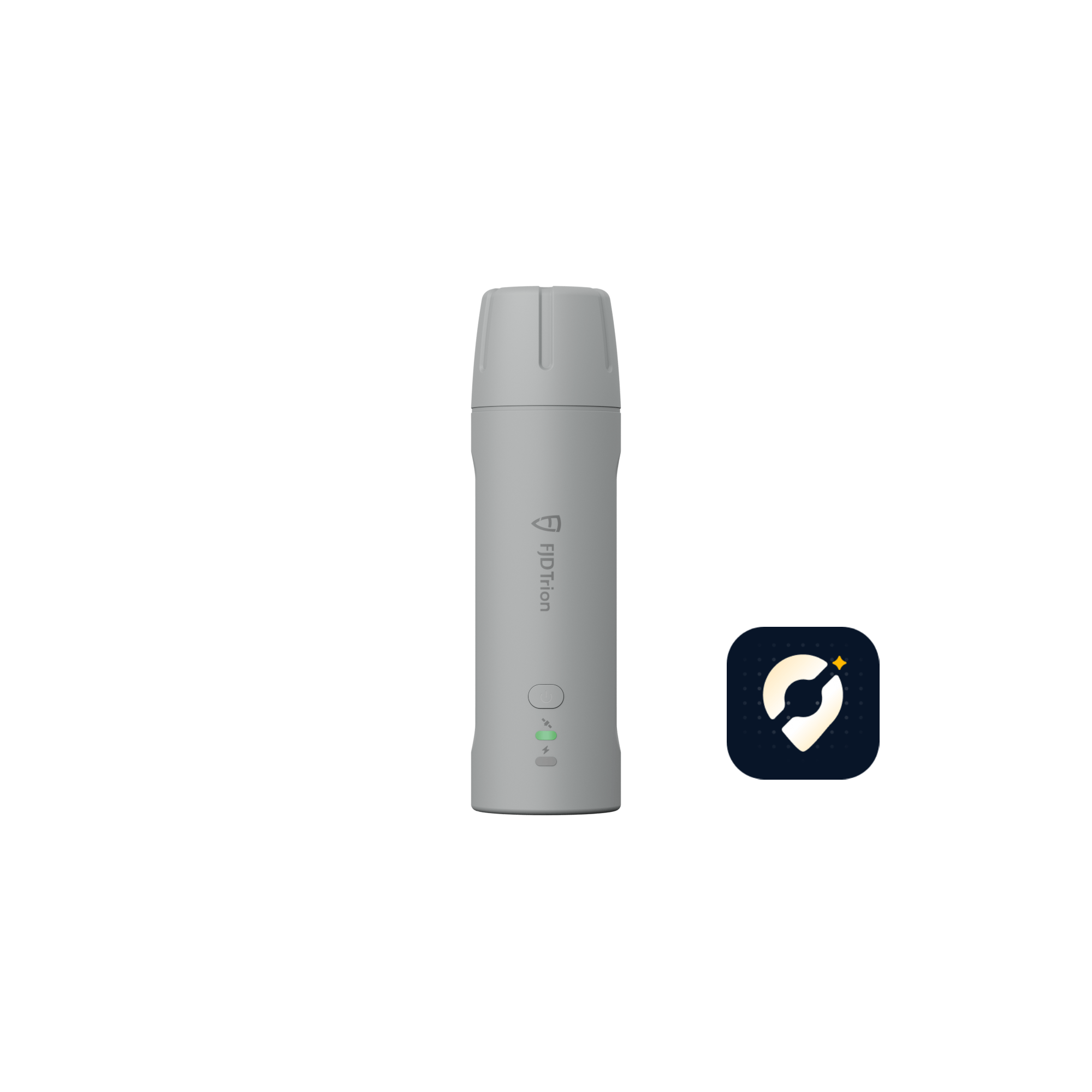
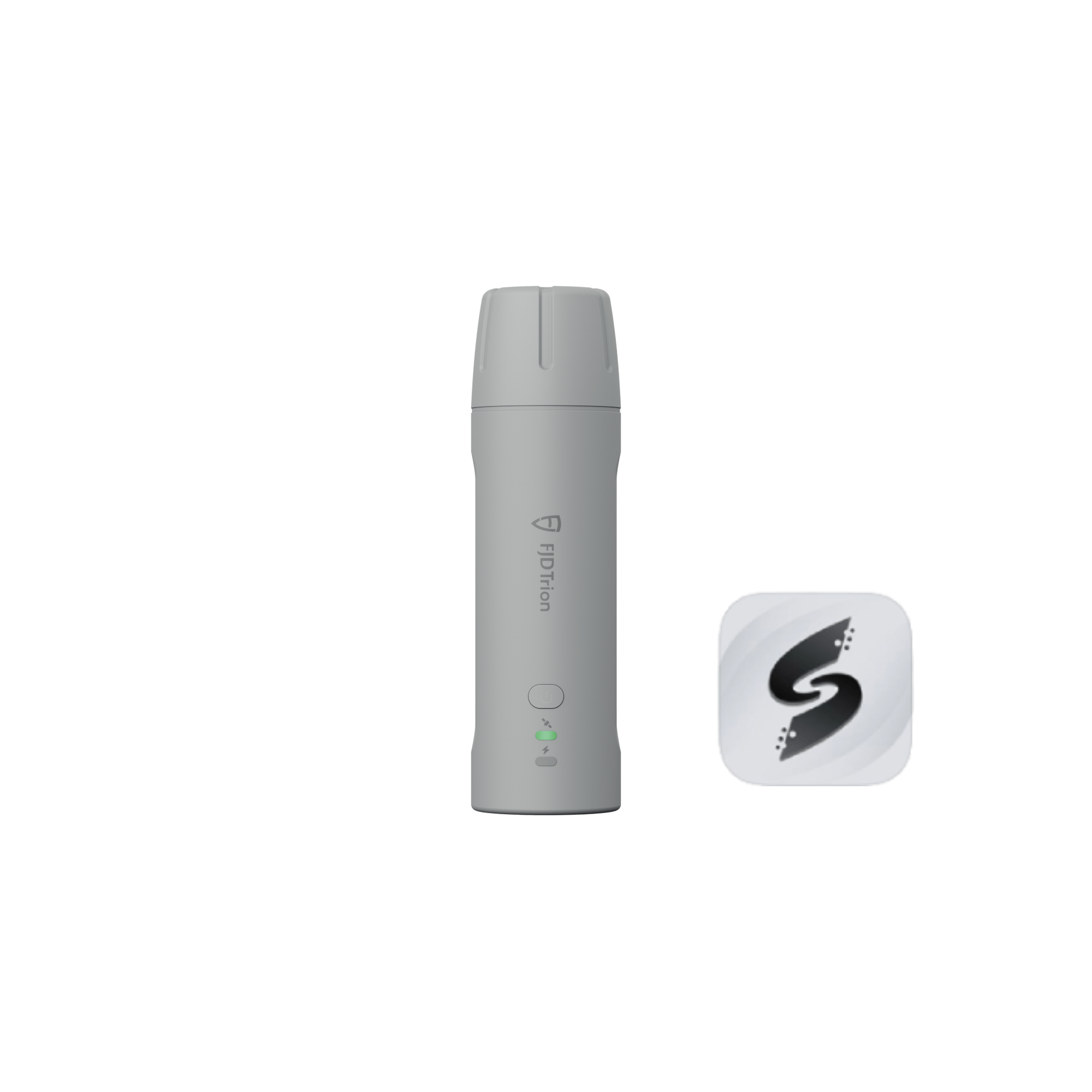
Téléchargez l'application FJD Trion Scan
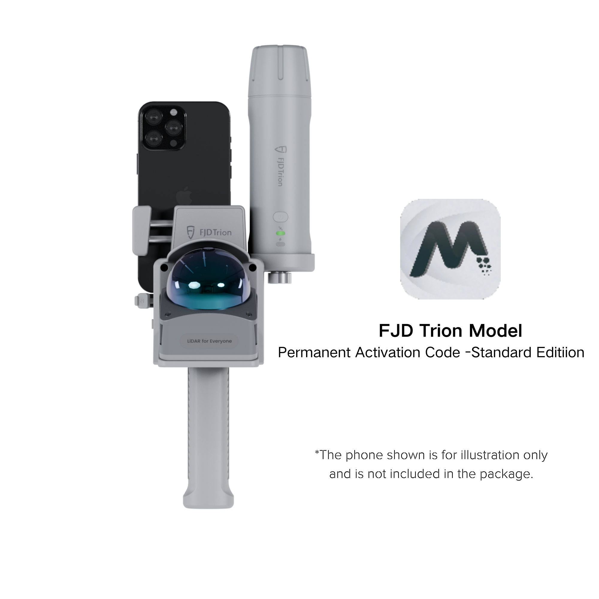
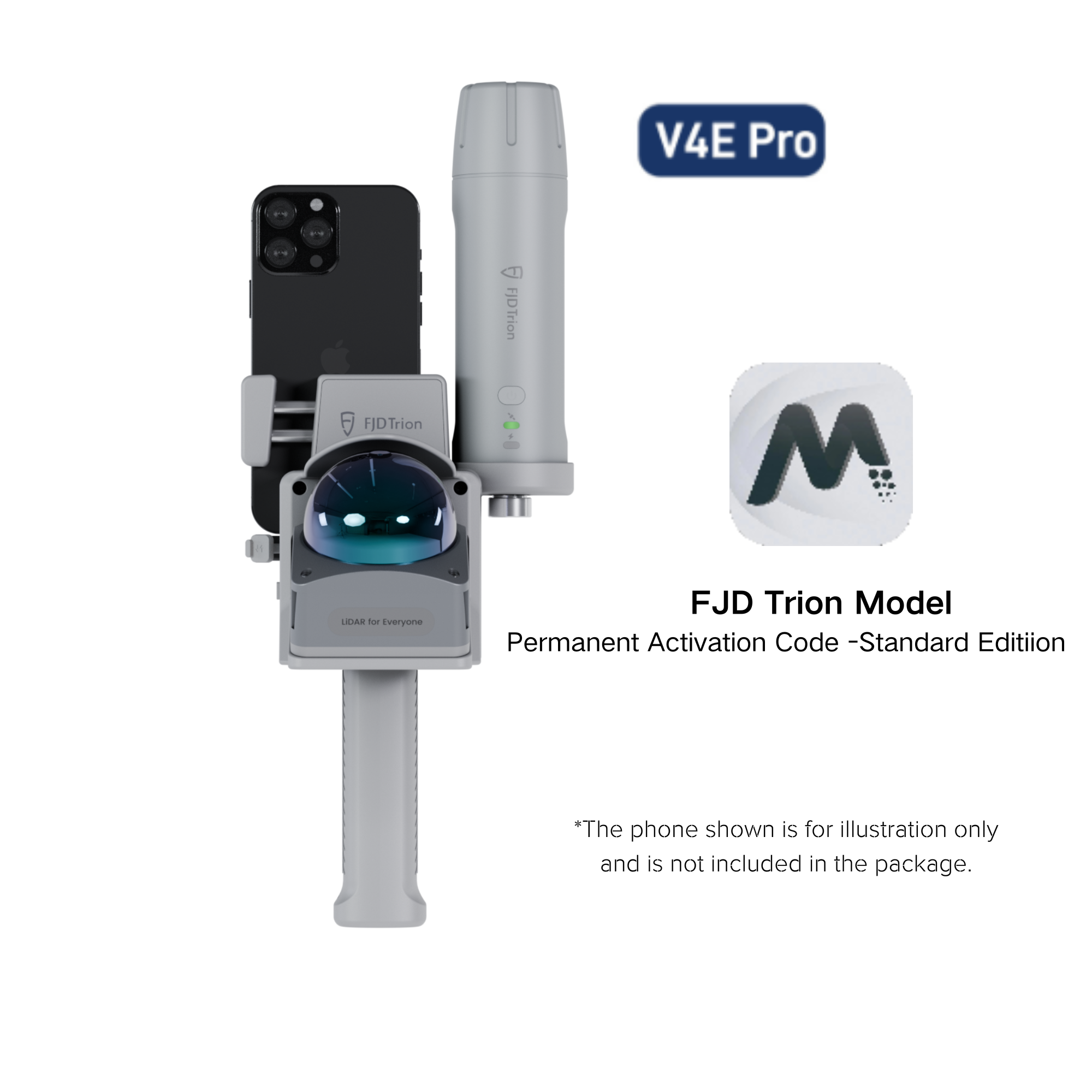
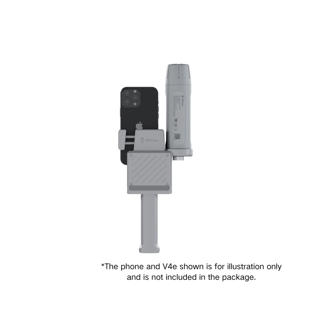
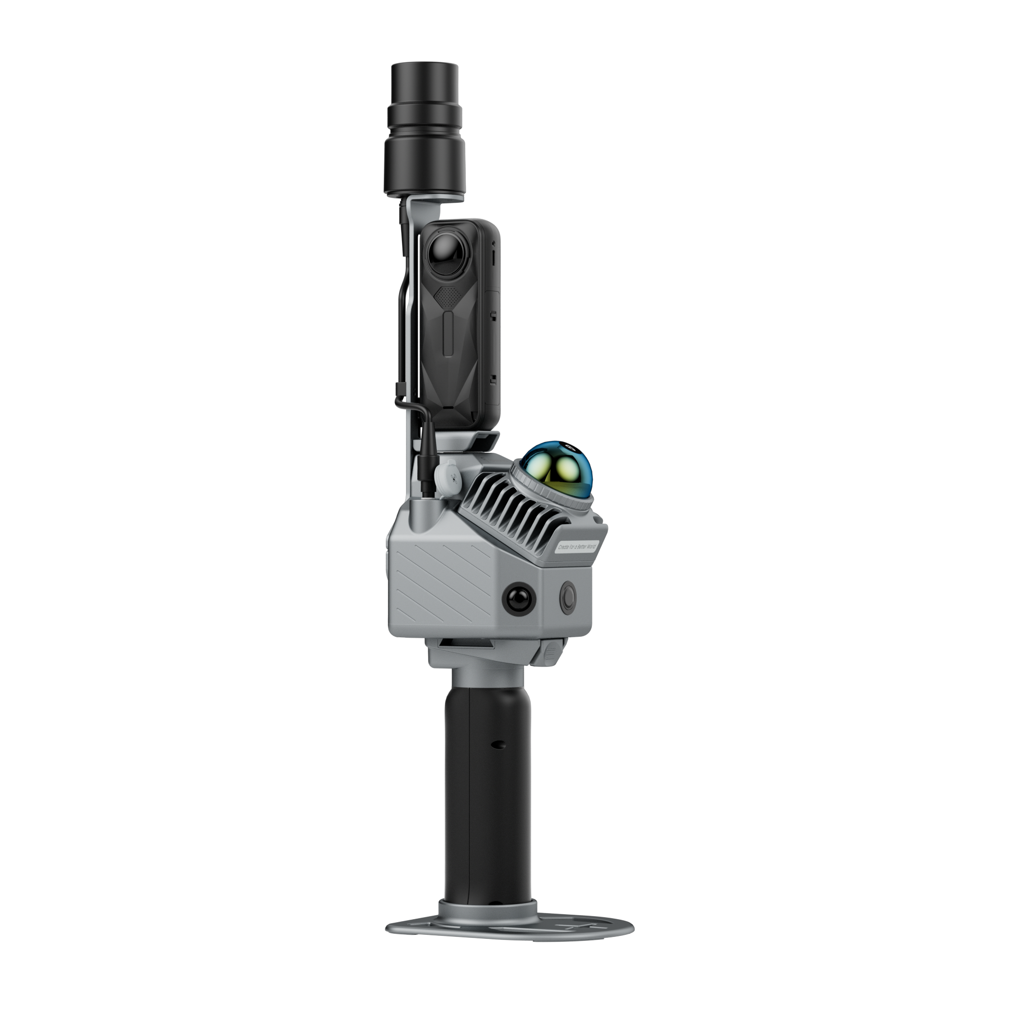
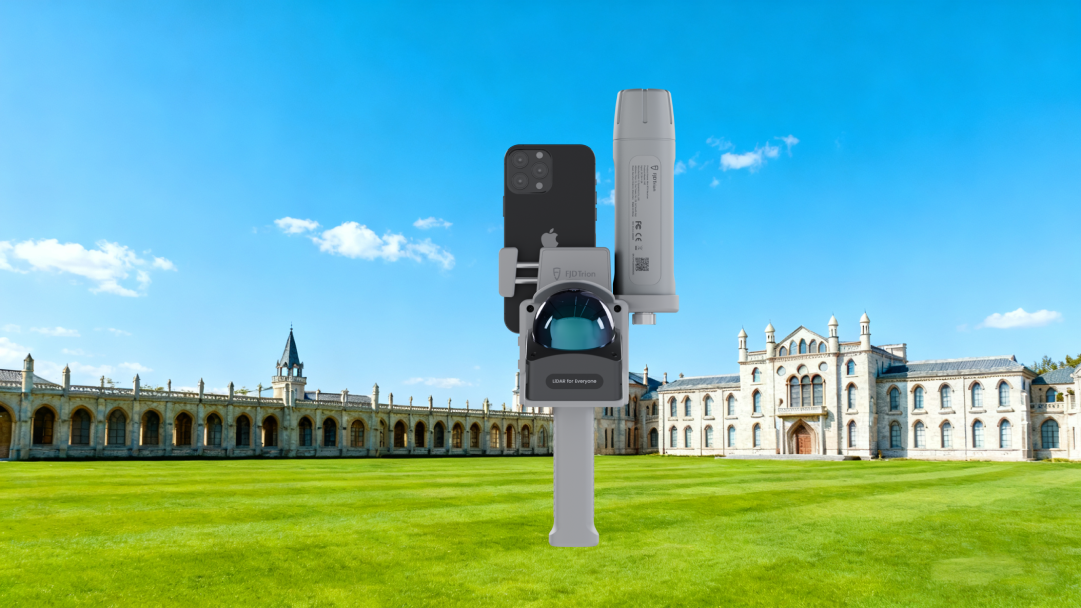
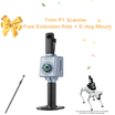
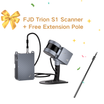
Designed to work with FJD Trion V4e LiDAR.

![]() Get it between -
Get it between -


Petit en main, sans limites sur terre
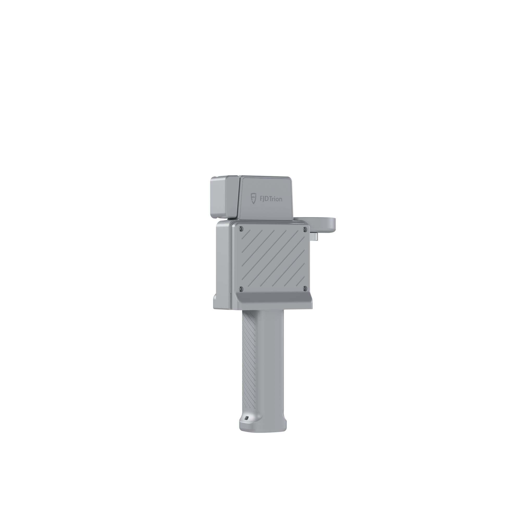
Le récepteur RTK FJD Trion V4e Mini révolutionne les récepteurs GNSS traditionnels grâce à sa portabilité et sa précision. Pesant seulement 320 g, le V4e offre un positionnement au centimètre près sans mire de centrage, idéal pour les particuliers, les équipes et les professionnels en déplacement. Simple d'utilisation et abordable, il permet d'accéder instantanément à la puissance des levés topographiques de haute précision.

Main Features
 Global Constellations Supported 1408 Channels |  H≤0.8 cm+1 ppm V<1.5cm+1 ppm |  Pocket-Sized Only 320g |
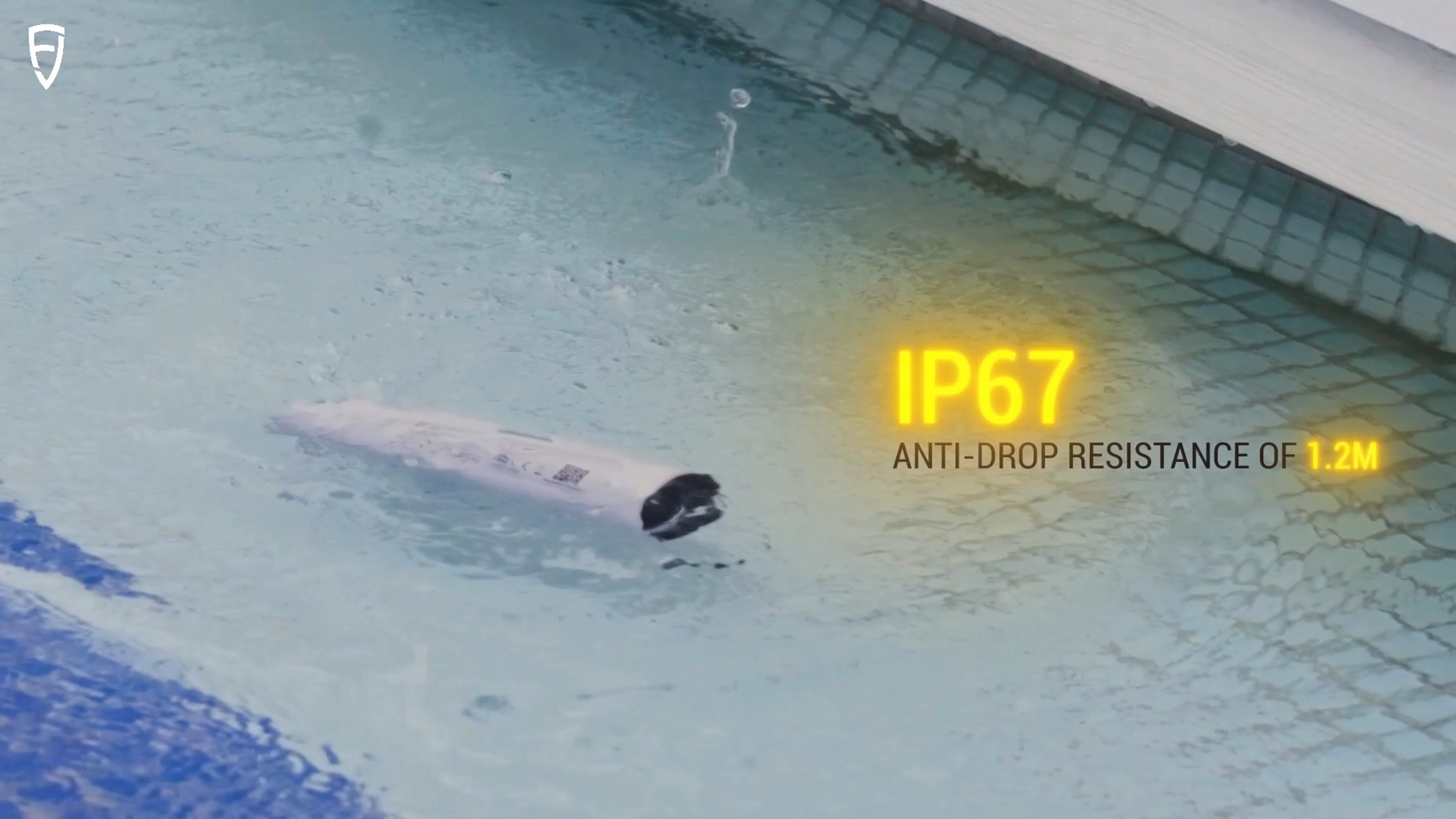
 Battery Life ≥12h Charging Time <3h |  1.2m Anti-Drop |  Startup Time Cold: <30s, Hot: <5s, RTK Init:5s |
Key Benefits
 | Small Size, Big PowerDeliver centimeter-level accuracy with ±1.5 cm static precision. It supports 1408 channels and covers all GNSS constellations, including GPS, BDS, GLONASS, Galileo, QZSS, and SBAS. Weighing only 320g, the V4e offers broad compatibility with popular correction services, supporting NTRIP connectivity with RTCM 2.3, RTCM 3.x, and CMR. |
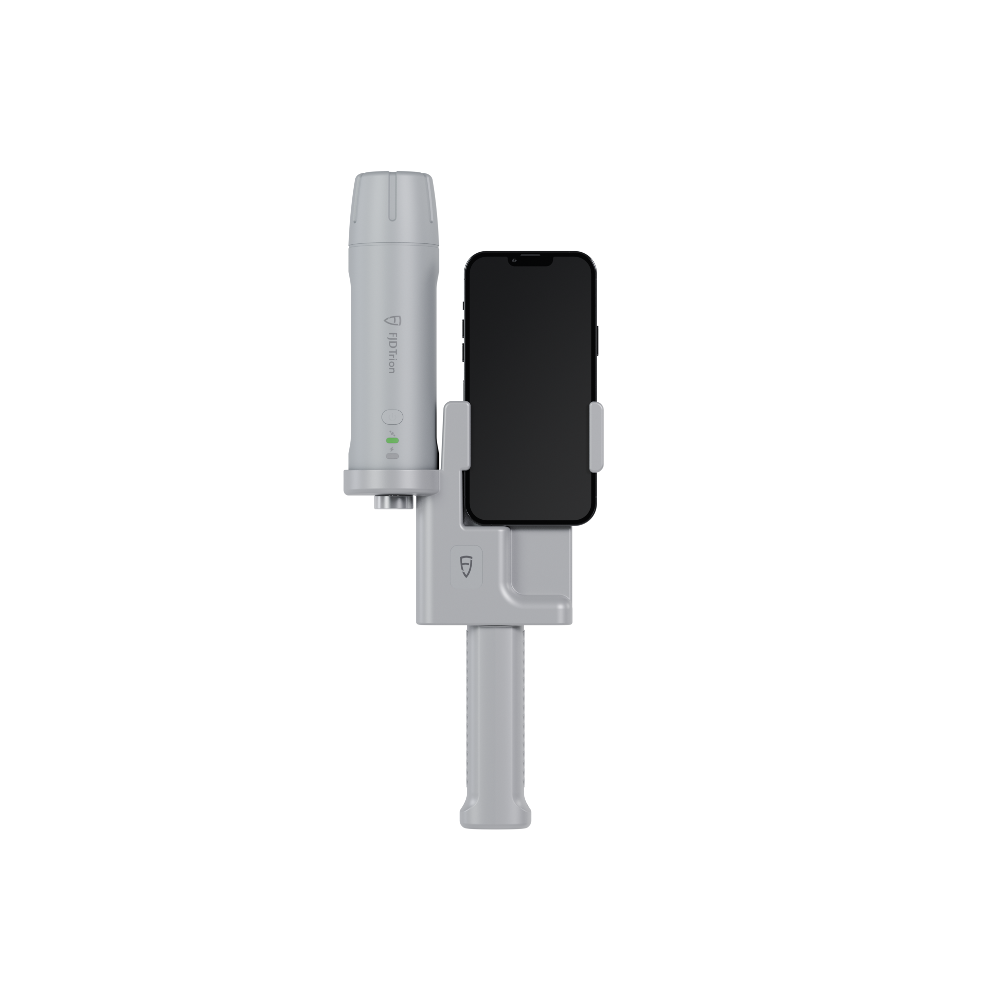
No Pole, No ProblemCompensate for tilt angles up to 30° (PRO version) with a built-in IMU, so you don't need to hold it perfectly straight. This gives you ≤3cm accuracy at a 3m distance without a leveling rod. Its onboard LiDAR rangefinder in the PRO version also achieves ±3mm precision at a 10m distance for precise point targeting. |  |
 | Built Tough for All-Day EfficiencyStay powered up for the entire workday. It can run for over 12 hours and takes less than 3 hours to charge. You can even keep the V4e working while charging it with a power bank, so your work is never interrupted. |
Protected. Durable. Reliable.With IP67-rated protection against water and dust, and 1.2-meter drop resistance, the V4e is built to withstand tough environments. It keeps working reliably even when exposed to dust or accidental drops, ensuring consistent accuracy for your outdoor projects. |  |
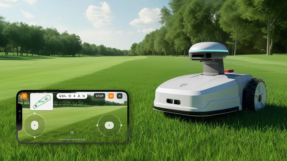
 | EASIER ACCESS TO FJD TECH ECOSYSTEMAccess the FJD ecosystem quickly for a smooth workflow from field to machine. The GNSS data you collect with the V4e in the field can be directly used by FJD's farming autosteering systems, robotic mowers, and other smart devices for automated tasks. You don't have to convert the data, allowing you to work faster and reduce mistakes. * Beyond the FJD ecosystem, its open design also supports customization to fit your unique needs. |
Small Size, Big Power
Deliver centimeter-level accuracy with ±1.5 cm static precision. It supports 1408 channels and covers all GNSS constellations, including GPS, BDS, GLONASS, Galileo, QZSS, and SBAS. Weighing only 320g, the V4E offers broad compatibility with popular correction services, supporting NTRIP connectivity with RTCM 2.3, RTCM 3.x, and CMR.No Pole, No Problem
Compensate for tilt angles up to 30° (PRO version) with a built-in IMU, so you don't need to hold it perfectly straight. This gives you ≤3cm accuracy at a 3m distance without a leveling rod. Its onboard LiDAR rangefinder in the PRO version also achieves ±3mm precision at a 10m distance for precise point targeting.Built Tough for All-Day Efficiency
Stay powered up for the entire workday. It can run for over 12 hours and takes less than 3 hours to charge. You can even keep the V4E working while charging it with a power bank, so your work is never interrupted.Protected. Durable. Reliable.
With IP67-rated protection against water and dust, and 1.2-meter drop resistance, the V4E is built to withstand tough environments. It keeps working reliably even when exposed to dust or accidental drops, ensuring consistent accuracy for your outdoor projects.EASIER ACCESS TO FJD TECH ECOSYSTEM
Access the FJD ecosystem quickly for a smooth workflow from field to machine. The GNSS data you collect with the V4E in the field can be directly used by FJD's farming autosteering systems, robotic mowers, and other smart devices for automated tasks. You don't have to convert the data, allowing you to work faster and reduce mistakes.* Beyond the FJD ecosystem, its open design also supports customization to fit your unique needs.
Why Choose RTK

Application Scenarios
 Topographical Survey |  Construction & BIM |  Utilities & Public Works |
 Road Surveying |  Forestry & Agriculture |  Quick Robotic Integration |
Topographical Survey
Construction & BIM
Utilities & Public Works

Road Surveying
Forestry & Agriculture
Quick Robotic Integration
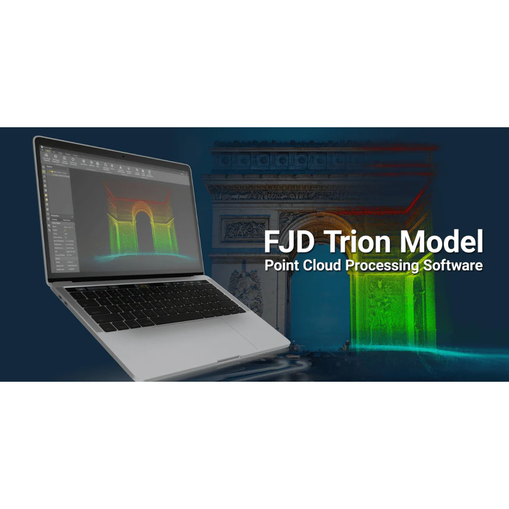
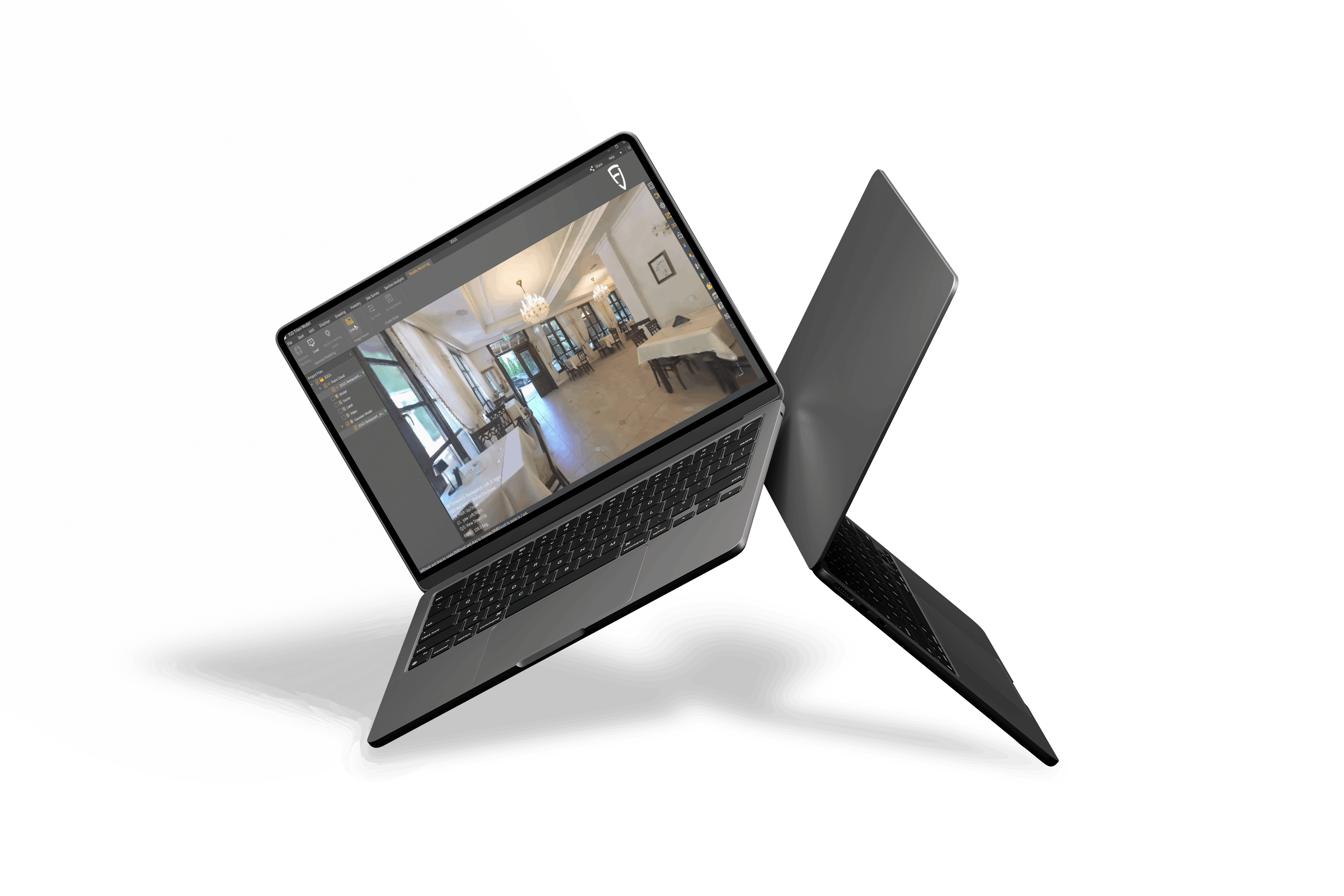
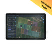
Présentation de l'application FJD Trion Survey
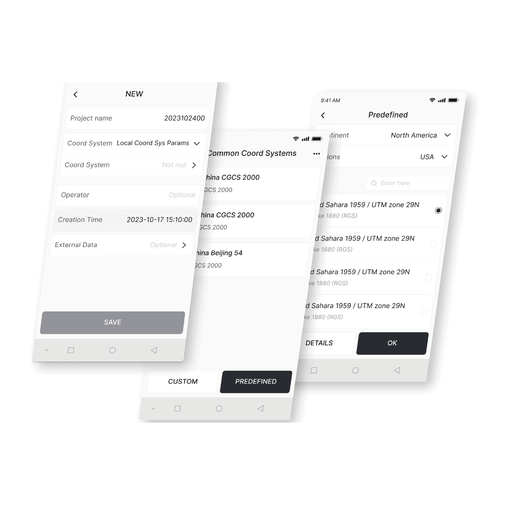
Transformation de coordonnées
Créez divers modèles de plan et d'élévation grâce à plus de 8 000 systèmes de coordonnées, 70 ellipsoïdes et 30 projections. Vous pouvez également effectuer des corrections de géoïde pour répondre aux besoins de votre région.
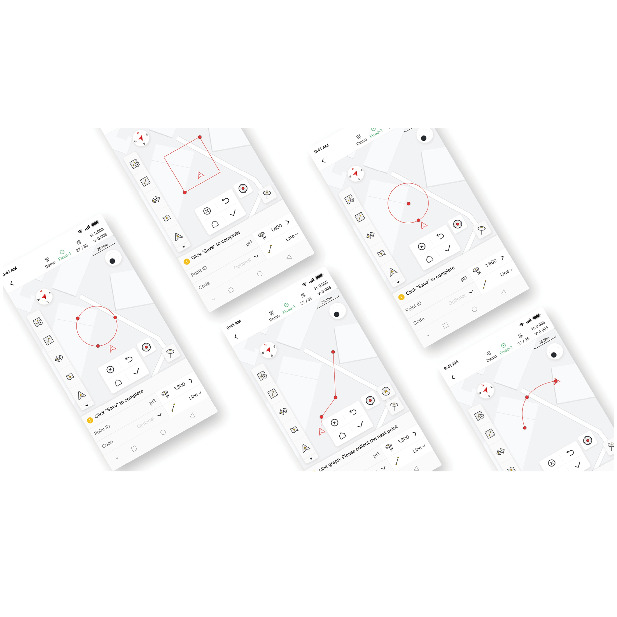
Mesurer et dessiner
Obtenez des données de positionnement précises et mesurez/dessinez 10 formes courantes (dont des polylignes, des cercles et des rectangles) . Vous pouvez également effectuer des mesures codées avec des catégories graphiques claires pour accélérer la cartographie post-levée.
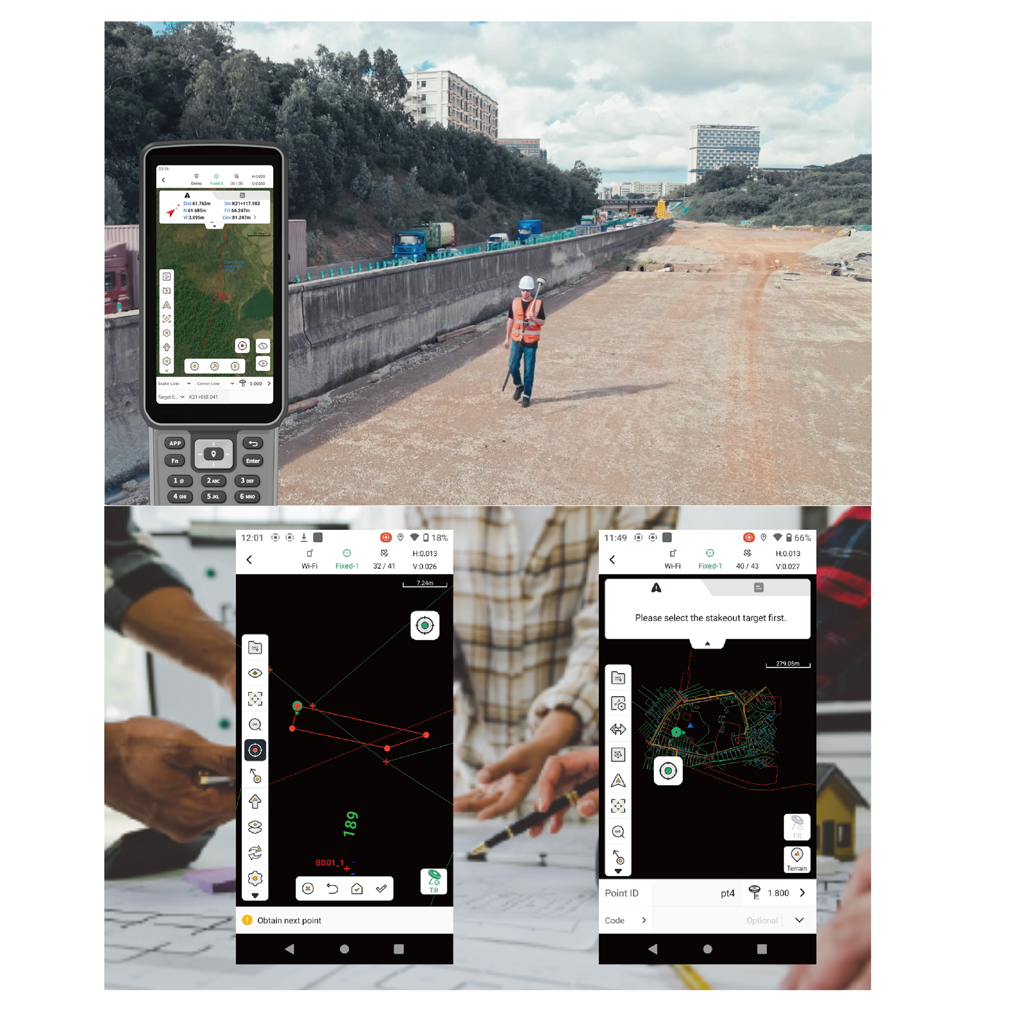
Piquetage efficace et coordination fluide
Après avoir traité les données dans l'application de levés topographiques, vous pouvez ajouter des étiquettes personnalisées et les exporter rapidement vers des fichiers CAO courants pour un piquetage rapide sur le terrain. L'application permet également de visualiser les détails des routes, tels que les équations de station, les alignements, les profils en travers et les pentes. Une fois les informations de piquetage vérifiées, vous pouvez les exporter au format LandXML pour un partage rapide et une coordination simplifiée.
Adaptable à une utilisation mondiale
Grâce à sa compatibilité avec 16 langues, l'application Trion Survey vous permet de traiter les données topographiques collectées par V4E dans la langue de votre choix. De plus, vous pouvez basculer facilement entre les modes paysage et portrait pour un affichage optimal des données sur les écrans UA80 (8 pouces) et D10 (10 pouces) . Votre flux de travail, du terrain au traitement, s'en trouve simplifié, et vos données sont rapidement prêtes pour votre prochain projet.
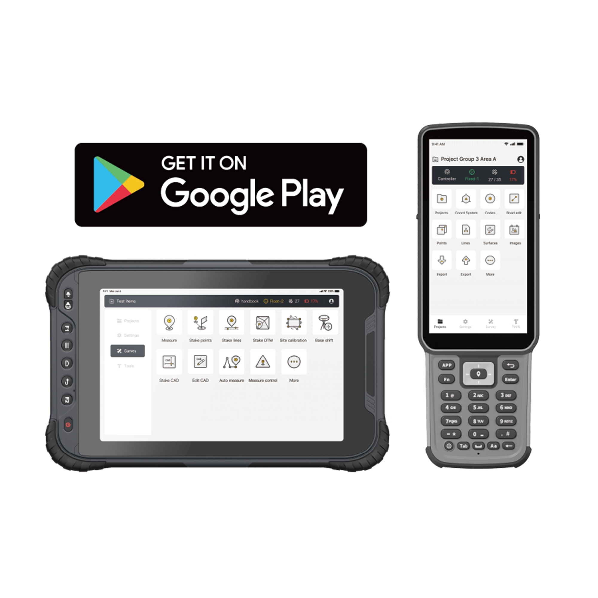
Download
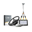
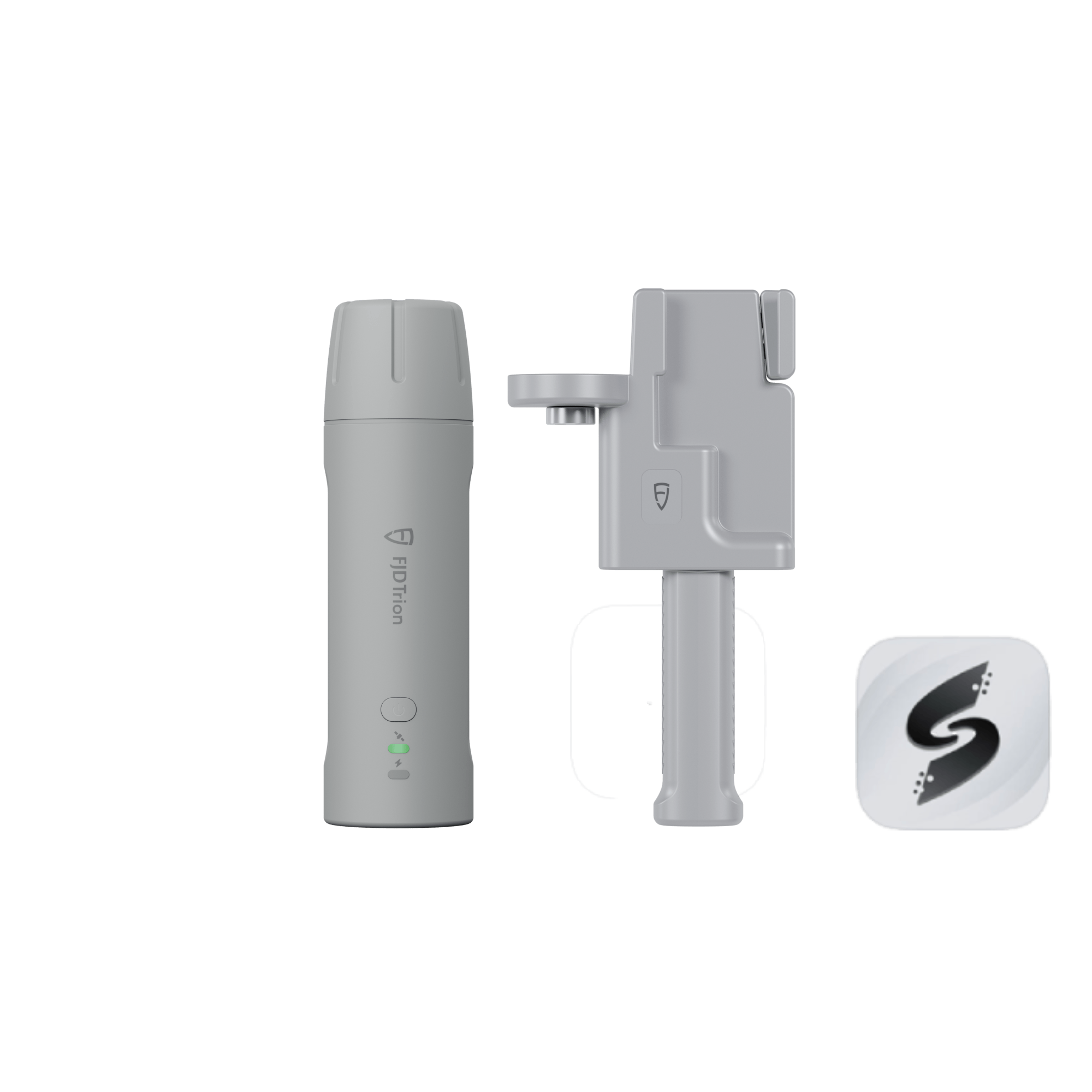
Packing List
 |  |  |
V4E / V4e PRO *1 | Charging Cable *1 | Screw Adapter *1 |
Specifications
 |
 |
FAQ
Is this RTK receiver included with the Trion V4e LiDAR?
Yes. This RTK receiver is included with the Trion V4e LiDAR Kit.
What is the difference of V4e Standard and V4e Pro?
The V4e Pro builds upon the V4e Standard, adding laser range finding and tilt measurement for more advanced surveying needs, making it ideal for complex or precise projects.
Comment transférer la zone délimitée créée par V4e vers le terminal du système de navigation ?
Utiliser l'application de sondage ou l'application correspondante.
Comment utiliser ce produit ?
Un manuel d'utilisation est fourni avec le produit. Vous pouvez également vous référer au vidéo.
Le V4e peut-il être utilisé comme station de base pour drone (véhicule aérien sans pilote) ?
Non. Parce que le V4e ne possède ni module réseau ni station radio.
V4e possède-t-il une station de radio ?
Non. Il est recommandé d'utiliser Ntrip (Networked Transport of RTCM via Internet Protocol) .
Comment télécharger les données de limites et de lignes de base générées par V4e sur le terminal du kit de navigation ?
Créez la ligne de base et la limite à l'aide de l'application FieldFusion, puis sélectionnez-les pour les synchroniser avec le terminal lié.
Lors de l'utilisation du V4e Pro pour la mesure laser, le point laser tremble et ne peut être stabilisé. Existe-t-il des accessoires permettant de stabiliser l'appareil et de garantir que le point laser reste fixe sur la position de mesure ?
Le V4e prend en charge deux méthodes de mesure : (1) la mesure par inclinomètre avec une mire de centrage, qui répond au besoin de l'utilisateur d'une mesure stable de points précis ; (2) la mesure par inclinomètre laser, adaptée aux situations où l'utilisateur ne souhaite pas utiliser de mire de centrage ou lorsque celle-ci est inaccessible.
Actuellement, quelle est la compatibilité de V4e avec Trion Survey ? Existe-t-il des fonctions importantes qui ne sont pas encore prises en charge ?
L'application Trion Survey est le logiciel de support de V4e, et il n'y a aucun problème de compatibilité.
La technologie V4e peut-elle être utilisée dans un environnement totalement dépourvu de réseau ? Et peut-elle effectuer une post-production cinématique (PPK) ?
Il est recommandé d'utiliser V4e dans un environnement réseau. Le protocole PPK n'est pas pris en charge.
Le V4e peut-il stocker des données RINEX (Receiver Independent Exchange Format) ?
Non.
Après avoir connecté le V4e Pro au FJD Trion Scan, quel est le format des données des points exportés ?
. las (un format courant pour le stockage des données de nuages de points lidar)
Des questions?
Vous pouvez nous contacter via notre page contact ! Nous serons heureux de vous aider.
Tu pourrais aussi aimer